It represents the highest point of the Castle

Top Area

The zenithal photo of an area of the village.

🎧 Listen to the guide (Italian)

🎧 Listen to the guide (English)

🎧 Écoutez la guide (Français)

🎧 Escucha la guía (Español)

🎧 Hör dir die Führung an (Deutsch)

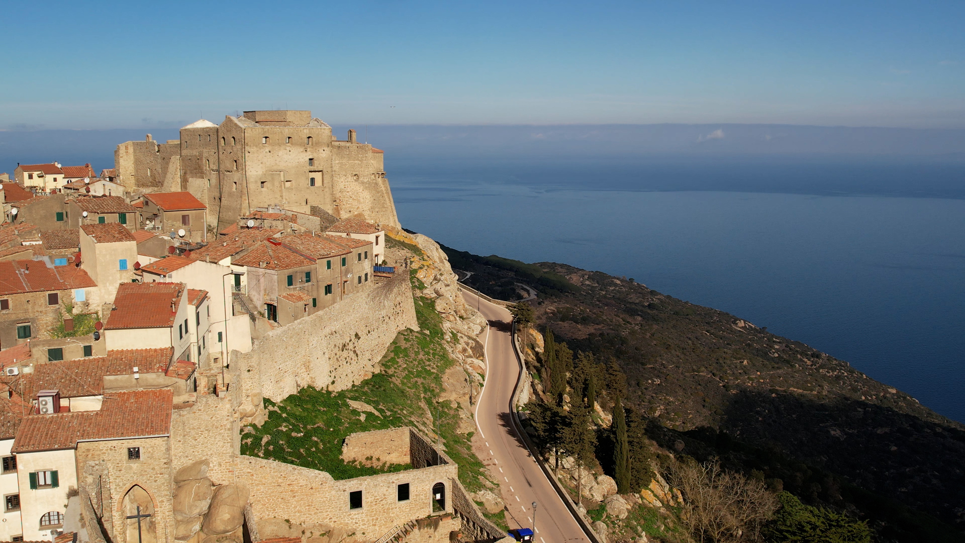
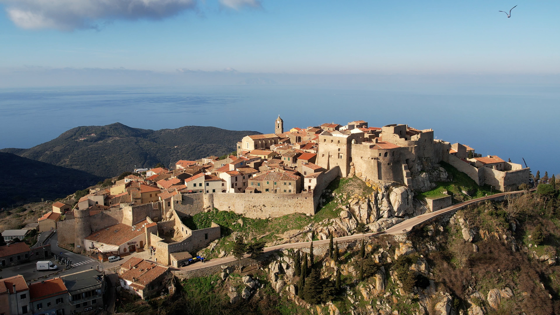
Contour lines with a step size of 1 meter were extracted from the digital terrain model.

These curves, unexpectedly, show that the highest part of the castle does not correspond to the fortress, as one might expect, but rather to the open space in front of the structure.

The aerial view captures the village as it stretches across the top of a hill, surrounded by its ancient medieval walls.

This figure turns out to be in contrast to what usually occurs in similar constructions, in which the stronghold is the highest area, and can only be explained through the need and opportunity of placing the stronghold precisely on the portion of the hill that turned out to be the most adjacent to the cliff.

This strategic choice may in fact have been intended to take advantage of the natural features of the terrain to achieve greater control and more effective defense.